|
|
Post by Peter Bakwin on Nov 2, 2009 16:48:39 GMT -5
Keith Knipling holds the record, 14h46m30s, set Sept. 6, 2008The Massanutten Mountain Trail is a National Recreation Trail. It is a 71-mile loop in the George Washington National Forest, on the ridgelines of the eastern and western ranges of the Massanutten Mountain. According to the Virginia Happy Trails Running Club (VHTRC): "The 'trail' is hard, rocky, and slow. Sections of the trail have been around in some cases for centuries, but the entire, uninterrupted, 71-mile Massanutten Trail was not completed until 2002." With the close proximity of a very active group of ultrarunners (VHTRC), the MMT ring was run by Chris Scott and Anstr Davidson (27h51m) even before it was officially dedicated in 2002. Since then, VHTRC organizes a race of the route every September, and some fast times have been recorded. Here is a list of winning times for each year, from the VHTRC website: | 2002 | Harry Bruell | 16h45m | | 2003 | Ryan Henry & Randy Dietz | 19h32m | | 2004 | Sue Johnston & Scott Brockmeier | 19h11m | | 2005 | Jeff Wilbur | 17h15m | | 2006 | Event Not Held | | | 2007 | Mike Schuster | 15h41m | | 2008 | Keith Knipling | 14h46m30s |
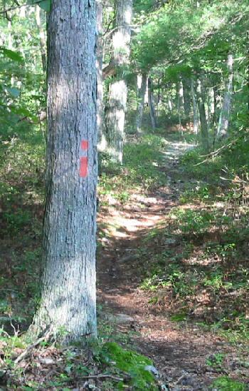
There is also a reverse loop run organized in February.  photo from VHTRC
|
|
|
|
Post by Cory McArtor on Aug 29, 2011 10:04:59 GMT -5
Is there an unsupported record for this trail? I've been wanting to backpack the entire trail for a while and have been thinking it might be fun to see how fast it could be done without crew.
|
|
|
|
Post by Dan Rose on Jun 20, 2012 14:37:21 GMT -5
The problem with hiking this unsupported is there's no reliable water on the 71 mile loop, aside from the loop around Strasburg Lake. A winter attempt (with snow/melt to source from) would the way I'd go about it. Totally doable in the winter in less than 18 hours by starting with 4-5K calories...if you can get the H2O along the way.
|
|
|
|
Post by Bob Combs on Aug 21, 2013 16:05:10 GMT -5
There is very reliable water at the spring near mudhole gap, also a reliable spring coming down from Powells Mtn into Edinburgh (or up depending on direction). I have used both these a number of times with no issues There are also the streams at the base of waterfall and coming(leaving depending on direction) into Camp Roosevelt(Duncan Hollow) as well as Veach Gap. So lots of water, esp March-May  Bob Combs |
|
|
|
Post by Kathleen Cusick on Jun 23, 2016 17:23:10 GMT -5
I am going to try a self-supported Ring this Saturday (6/25). I am planning to plant aid at 3 places along the route. I will start at Signal Knob and go in the clockwise direction. I'll use my phone, watch, and Garmin to record time. Happy Trails!  |
|