Post by Adam Gifford on Sept 12, 2011 19:02:34 GMT -5
Hole-to-Hump
The Hole-to-Hump is a run that starts at the Colorado River at the bottom of the Grand Canyon (elevation – 2500’) and ends at the summit of Mt. Humphreys (elevation – 12,633’ – Arizona’s highest point). The route starts by ascending up the South Kaibab Trail to the top of the South Rim of the Grand Canyon. From there is heads east on Desert View Drive where it leads to a vast network of Forest Service roads that head southeast to the base of Mt. Humphreys. The Mt. Humphreys summit trail is then taken to the summit and the end of the route. The route is somewhere between 80-90 miles long (depending on who you ask). That distance does NOT take into consideration the 7.5 miles that you need to hike down into the Grand Canyon just to get to the start. It also doesn’t take into consideration the 4.5 miles that you need to hike down Mt. Humphreys after reaching the summit. The main article about the run can be found here.
It doesn’t look like this run has been done completely unsupported due to the lack of water in the plains between the canyon and the mountain. The usual method is to use caches or a support vehicle or a combination of the two.
As far as I can tell here are the following finishing stats so far (PLEASE feel free to correct any of these or add to the list since my homework is far from exhaustive):
Scott Baxter/Alan Williams – 21hrs 26min (1982)
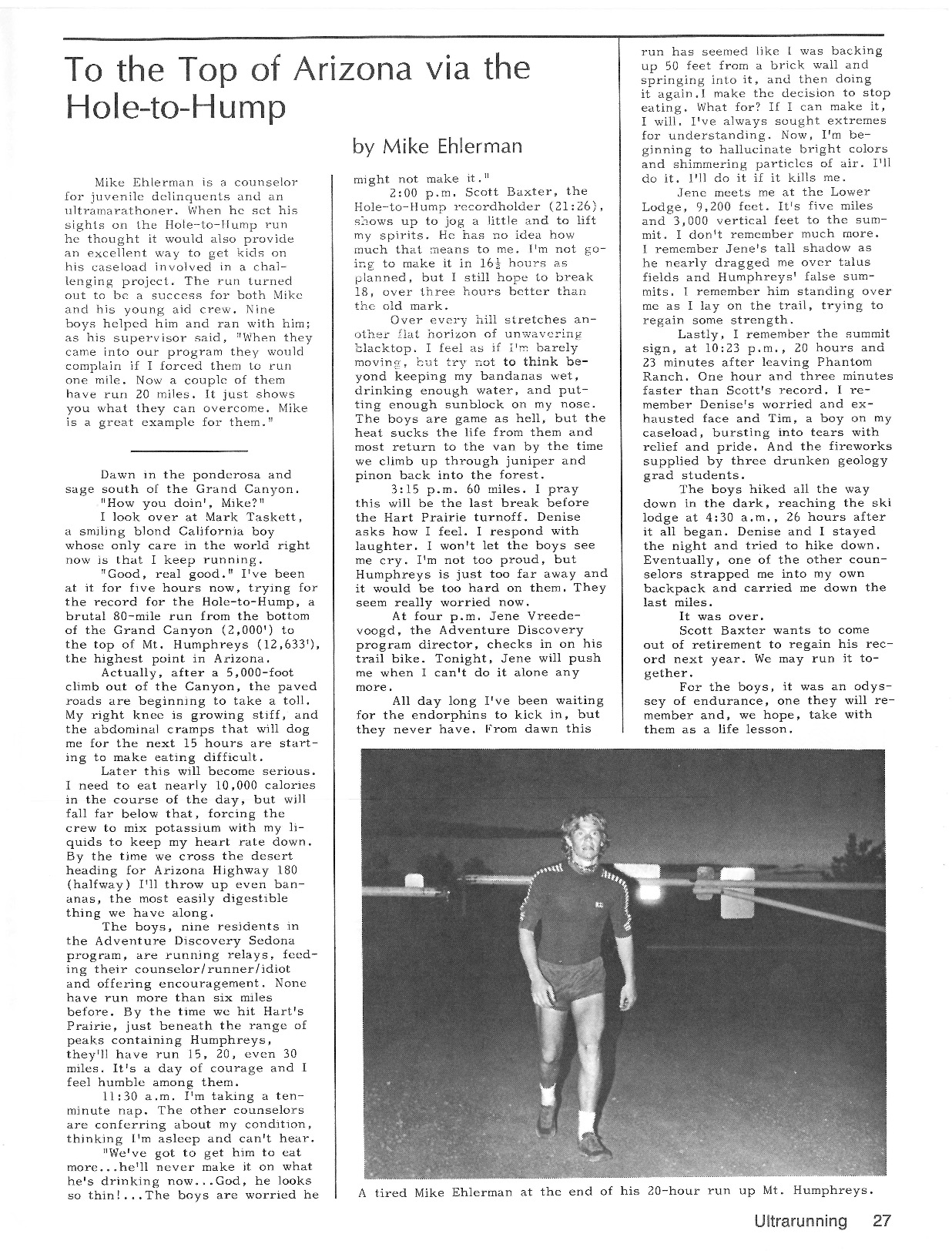
Mike Ehlerman - 20hrs 23min (1983 **CR**)
Mathieu Brown – 25hrs ??min (2008)
Adam Gifford/Jason Henrie - 26hrs 52min (2011)

